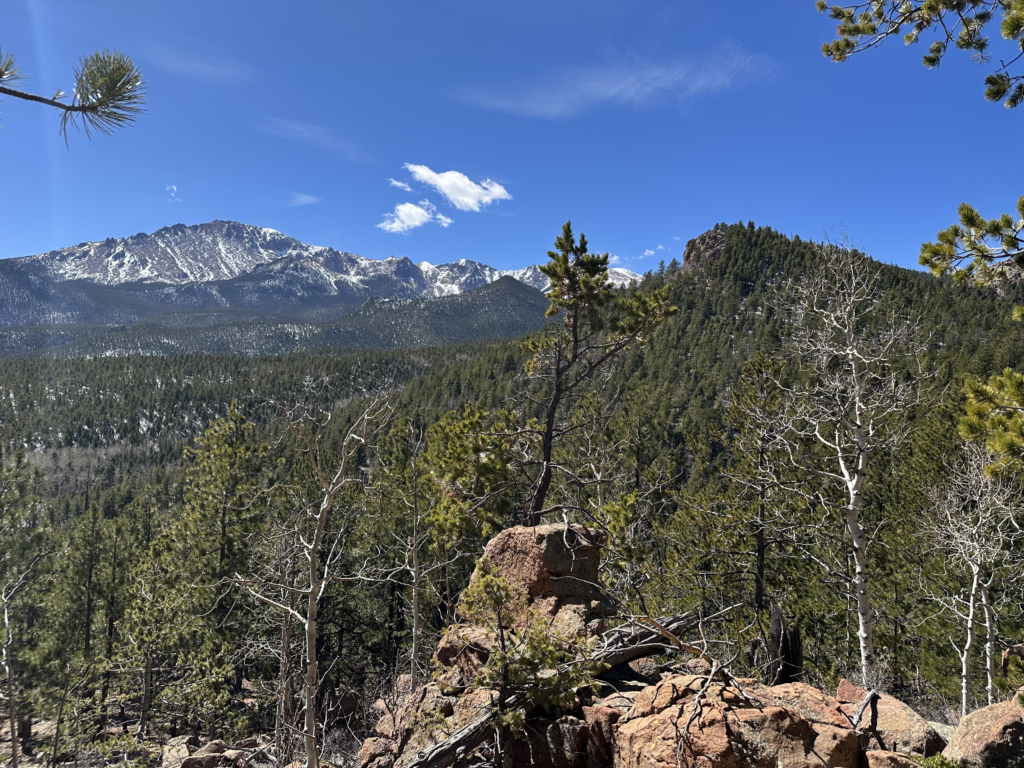
Search, Plan, Explore…
Using data sets from the US Bureau of Land Management and the FCC, we’ve created a free web-app that lets you see what public or federal land is near you or a place of interest, as well as whether you can get cell service there. This is just a simple reference tool for land within the USA and sources data is linked for more information.
Good luck out there!
Abeyant Explorer Team
Check out the online map!
12
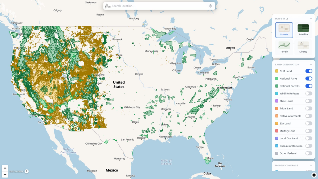
Land Designations
Using the data published in June 2025 on the US Bureau of Land Management (BLM) website we can show the federally recognized land designations in the USA’s 50 states.
3
Mobile Service Providers
Currently we show reception 4G or better for AT&T, Verizon, and T-Mobile across the USA.
4
Map Styles
Toggle between topographic, standard, satellite, and a fourth one that fills the selection grid.